

pretty crazy lighting on the turnpike this morning

 Platinum Member


pretty crazy lighting on the turnpike this morning
Participating Member
Slight chance of storms in C OK late tonight with a dying MCS that will come out of the panhandle, all dependent on if it survives long enough to reach us this far east. Similar thing for Saturday into Sunday, with a chance at those storms developing closer to OK, thus a slight severe threat.
Special note. OKC has still yet to record a 90F High this year. This Saturday could be close as we will have strong south winds returning heading into this weekend. If we can remain cloudy, we may only reach upper 80s and keep the streak going. If we get past Saturday without hitting 90, we will officially be in the top 7 years with the latest first 90 degree day. This will put us in company with years from the late 1800s and early 1900s. Currently year #8 is June 15, 1978.
Participating Member
A slight chance storms come across out of SW KS overnight tonight. Mainly across NC OK.
Saturday night into Sunday chance of more storms, this time possibly severe. Sunday we could see localized areas of flash flooding wherever storms occur. I would say Sunday afternoon into evening is best chance here in C OK.
All of next week looks like slight chances of storms basically anywhere in the state. Main focus will likely be across NC and NE OK. We could have several rounds of dying MCS and storm clusters moving about each day.
Remember, if we don't hit 90F on Saturday or Sunday here in OKC, we will likely be getting 2019 into the record top of the records books.
Platinum Member
2019 into the top of the record books in what category?Originally Posted by Anonymous.

Participating Member
Longest time to record a 90 degree high. IMO, we're probably 60/40 to hit 90 degrees tomorrow. If we do, we'll be tied for the 10th longest time. If we don't, we'll probably wait until Wednesday or Thursday for our first 90 degree day, which would either put us with the 6th or 7th longest streak.
Participating Member
Regardless of records, its nice...
I'm sick of the duck weather. Bring on the heat dome of doom.
No thanks. That **** sucks.
Participating Member
I'm sick of the heat dome. Bring on the cooler temps.
Banned
But we haven't had a heat dome this year. The post you are quoting is wanting to have one, for some asinine reason.
Participating Member
And I reversed the sentiment.
Participating Member
I’m also a fan of the hell pressure cells
Participating Member
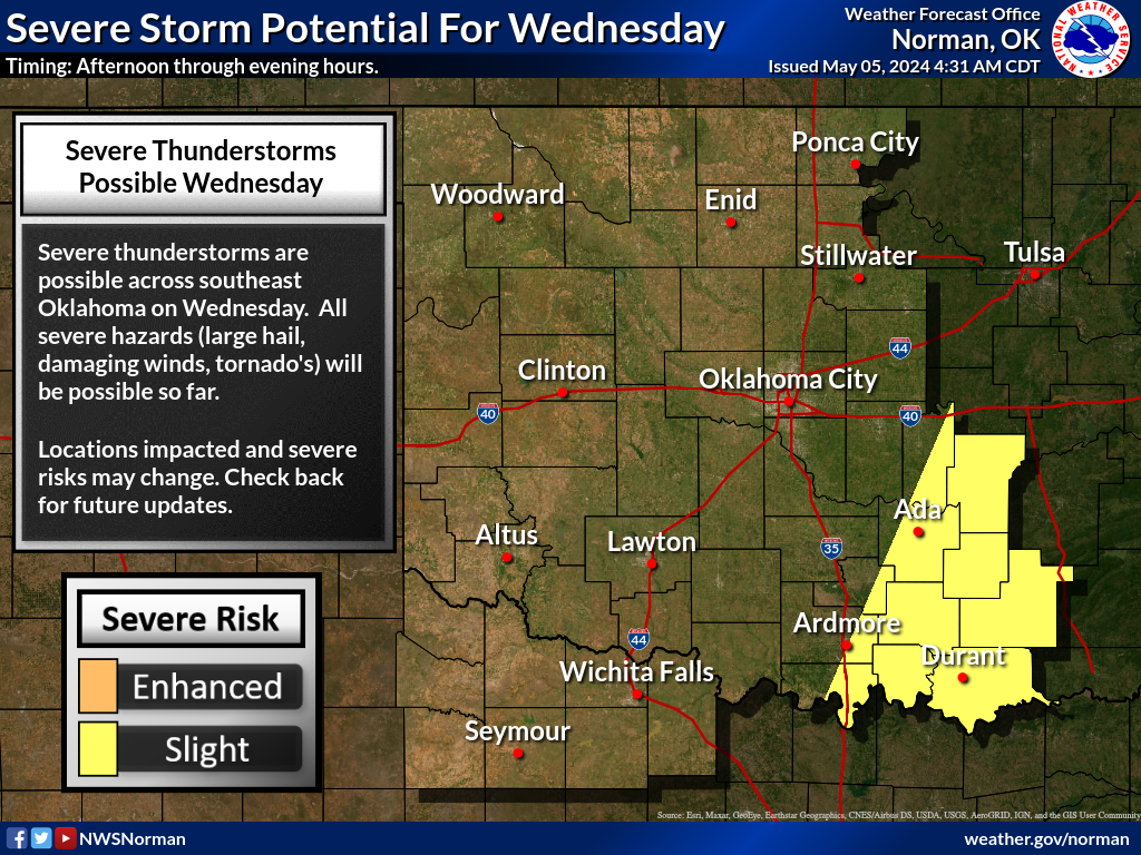
Enhanced Risk upgrade to most of OK for this afternoon. We will likely see severe storms develop over C OK in a couple hours along a boundary across NC OK. These storms will have no real direction and ride along their own outflows. This will cause flash flooding in very localized areas. Hail threat is decent with the taller storms.

FLOOD WATCH
Areas Affected:
Alfalfa - Beckham - Blaine - Caddo - Canadian - Carter - Cleveland - Comanche - Cotton - Custer - Dewey - Garfield - Garvin - Grady - Grant - Greer - Harmon - Hughes - Jackson - Jefferson - Kay - Kingfisher - Kiowa - Lincoln - Logan - Major - McClain - Murray - Noble - Oklahoma - Payne - Pontotoc - Pottawatomie - Roger Mills - Seminole - Stephens - Tillman - Wash ita
Details:
...Significant Flooding Possible Tonight...
.Widespread thunderstorms are expected across the region this
evening and overnight, especially across southwest into central
Oklahoma. Due to recent rainfall, a potentially significant and
life threatening flooding event may occur, especially across
central Oklahoma, including the Oklahoma City Metropolitan area.
...FLOOD WATCH IN EFFECT THROUGH SUNDAY MORNING...
The National Weather Service in Norman has issued a
* Flood Watch for flash flooding...flooding of creeks and
rivers...and flooding of low lying areas for a large part of
Oklahoma and all of western north Texas. In Texas, this watch
includes Quanah, Crowell, Vernon, Seymour, and Wichita Falls. In
Oklahoma, it includes Altus, Lawton, Ardmore, Elk City, Clinton
and Weatherford, Enid, the Oklahoma City Metro, Ponca City,
Stillwater, Shawnee, Seminole, and Ada.
* Through early Sunday morning.
* Extremely heavy rainfall associated with widespread
thunderstorms this evening and overnight.
* Due to saturated soils and bankfull rivers, the heavy rain that
is expected tonight could lead to significant and life
threatening flooding and flash flooding, especially across
central portions of Oklahoma.
* Avoid areas that normally flood during heavy rain and do not
drive into areas where water covers the road. Flooding is very
hard to see at night, so use extreme caution if you are
traveling.
Precautionary/preparedness actions...
A Flood Watch means there is a potential for flooding based on
current forecasts.
You should monitor later forecasts and be alert for possible
Flood Warnings. Those living in areas prone to flooding should be
prepared to take action should flooding develop.
Participating Member
Looks like there is a moderate risk out for the potential for some high wind producers. This line is approaching from the west
Participating Member
PDS severe thunderstorm watch is out. Didnt realize those existed for severe wind events.
Participating Member
Radar (or some other radar-related product on KOCO) is showing 100+ mph wind gusts around Custer County, but otherwise I didn't realize they did for wind events, either. Y'all hold onto your toupees.
SEVERE THUNDERSTORM WATCH
Areas Affected:
Alfalfa - Atoka - Beckham - Blaine - Bryan - Caddo - Canadian - Carter - Cleveland - Coal - Comanche - Cotton - Custer - Dewey - Ellis - Garfield - Garvin - Grady - Grant - Greer - Harmon - Hughes - Jackson - Jefferson - Johnston - Kay - Kingfisher - Kiowa - Lincoln - Logan - Love - Major - Marshall - McClain - Murray - Noble - Oklahoma - Payne - Pontotoc - Pottawatomie - Roger Mills - Seminole - Stephens - Tillman - Wa ****a - Woods - Woodward
Effective: Sat, 6/15 9:00pm Updated: Sat, 6/15 10:24pm Urgency: Expected
Expires: Sun, 6/16 4:00am Severity: Severe Certainty: Likely
Details:
SEVERE THUNDERSTORM WATCH 364 IS IN EFFECT UNTIL 400 AM CDT
FOR THE FOLLOWING LOCATIONS
OK
. OKLAHOMA COUNTIES INCLUDED ARE
ALFALFA ATOKA BECKHAM
BLAINE BRYAN CADDO
CANADIAN CARTER CLEVELAND
COAL COMANCHE COTTON
CUSTER DEWEY ELLIS
GARFIELD GARVIN GRADY
GRANT GREER HARMON
HUGHES JACKSON JEFFERSON
JOHNSTON KAY KINGFISHER
KIOWA LINCOLN LOGAN
LOVE MAJOR MARSHALL
MCCLAIN MURRAY NOBLE
OKLAHOMA PAYNE PONTOTOC
POTTAWATOMIE ROGER MILLS SEMINOLE
STEPHENS TILLMAN WASH ITA
WOODS WOODWARD
Participating Member
Don't know what's going on as I'm busy AF in a local ER, but I see toppled things on TV.......so is that a wind event?
Participating Member
The metro got lucky and avoided the high winds. I noticed the line lost its bow echo characteristics right before reaching the city. It was more S shaped.
Banned
I don't know what the wind speeds were in Newcastle, but we had 4 large limbs torn out of 3 trees. Lots of tree damage down Main Street in Newcastle also.
What's in store for today/tonight? Tornado warning just issued for Kingfisher and Canadian counties. Great. Just great.
Participating Member
Anybody have any idea when we will transition to a calmer, drier pattern? Looks like another week of severe chances almost every day.
This is getting absolutely ridiculous.
^The TV folks said the jet stream will move North next week and that should calm things down. Blame Emily Sutton if that is not correct!
Banned
We need to get out of the humid dome. It feels like we are in Georgia.
Banned
Yeah it looks like next week we finally get 90s and no rain in the forecast, looking like a proper summer time pattern will finally settle in. Hopefully it will stay that way through about the end of September into October.
There are currently 1 users browsing this thread. (0 members and 1 guests)
 Posting Permissions

 Reply With Quote
Bookmarks