

https://twitter.com/ounwcm
Rick Smith @ounwcm • 11m 11 minutes ago
1240pm - severe storms most likely to affect OKC metro area after 8pm. #okwx

 Participating Member

https://twitter.com/ounwcm
Rick Smith @ounwcm • 11m 11 minutes ago
1240pm - severe storms most likely to affect OKC metro area after 8pm. #okwx
Participating Member
Speaking of north central Oklahoma.
Blackwell is one of the most tornado aware small towns in Oklahoma.
For many years every school has had a large underground storm shelter….
They have over lapping storm siren coverage. They have had a good network of storm spotters and a dedicated channel for local cable coverage?
The vast majority of people have a basement or access to a shelter.
David
Current showers/storms will move through without much fanfare. Western OK is starting to bake again and some CU is starting to go up. Impacts to the metro area will depend which storms get their act together and can be sustained.
David
First of the day...
David
CONCERNING...SEVERE POTENTIAL...WATCH LIKELY
VALID 081921Z - 082115Z
PROBABILITY OF WATCH ISSUANCE...95 PERCENT
SUMMARY...NRN END OF ELEVATED TSTM BAND HAS INTENSIFIED ALONG THE
OK/KS BORDER AND WILL POSE A NEAR-TERM RISK FOR LARGE HAIL AND
STRONG WIND GUSTS. ADDITIONAL STORMS WILL LIKELY FORM ALONG THE
QUASI-STATIONARY FRONT AND DRYLINE BY EARLY EVENING WITH THE TORNADO
RISK INCREASING ESPECIALLY AFTER 00Z.
DISCUSSION...LEAD MID-LEVEL SHORTWAVE IMPULSE THAT HAS PRODUCED
SCATTERED ELEVATED TSTMS WITH LITTLE RAINFALL BUT ABUNDANT CLOUD
COVERAGE HAS SLOWED SURFACE-BASED DESTABILIZATION FROM CNTRL OK SWD.
NRN PORTION OF THIS CONVECTION HAS RECENTLY INTENSIFIED ALONG THE
KS/OK BORDER AREA AND WILL PROGRESS NEWD WHERE SURFACE TEMPERATURES
HAVE WARMED INTO THE LOWER 80S. EVEN THOUGH MODIFIED 18Z TOP RAOB
SUGGESTS MLCIN REMAINS ROBUST...THE PRESENCE OF THIS ELEVATED
CLUSTER AMIDST A VERY UNSTABLE AIR MASS AND STRONG DEEP-LAYER SHEAR
COULD SUPPORT A SWATH OF LARGE HAIL AND STRONG WINDS THROUGH LATE
AFTERNOON.
ADDITIONAL STORMS WILL PROBABLY FORM UPSTREAM OVER NW OK WITHIN THE
NARROW CORRIDOR OF INTENSE HEATING NEAR THE DRYLINE AS HIGH-BASED
CONVECTION OVER THE TX PANHANDLE OVERSPREADS IT LATER. LARGE HAIL
/SOME SIGNIFICANT/ WOULD BE THE PRIMARY INITIAL HAZARD. AS THE LLJ
STRENGTHENS THIS EVENING...THE RISK FOR TORNADOES /A FEW STRONG/
WILL INCREASE AS WELL.
..GRAMS/CORFIDI.. 04/08/2015
David
Recent image of the visible satellite with the dryline drawn on. Mesonet images are for dewpoints and also solar radiation - where the sun is out. Currently out in most area ahead of the dryline all the way through SW OK - which there is still a lot of cloud cover but well ahead of the dryline some.

Participating Member

This cloud deck is holding temperatures pretty well.
I am almost ready to go out on a limb and say garden variety storms for SW to C OK, and keep most serious business activity north. The only thing that leaves caution is the fact the atmosphere is very unstable over the entire area which could make some storms pack a decent punch if held together long enough.
David
The national weather service has issued severe thunderstorm watch
35 in effect until 7 pm cdt this evening for the following areas
in arkansas this watch includes 2 counties
in northwest arkansas
benton carroll
in oklahoma this watch includes 12 counties
in northeast oklahoma
craig creek delaware
mayes nowata osage
ottawa pawnee rogers
tulsa wagoner washington
this includes the cities of...bartlesville...bentonville...
Berryville...bristow...claremore...eureka springs...jay...miami...
Nowata...pawhuska...pawnee...pryor...rogers...tuls a...
Vinita and wagoner.
David
Dryline is getting ready to go. Echoes started to get picked up on radar and tower CU on satellite.
Real time updates will be in chat: Weather Spotlight - Live Chat Room for Weather Event Coverage
Participating Member
Humph.. I ran the bike home at lunch and swapped out to the truck. Looks like I could have waited.
David
David
The national weather service has issued tornado watch 36 in
effect until midnight cdt tonight for the following areas
in oklahoma this watch includes 26 counties
in central oklahoma
canadian kingfisher lincoln
logan oklahoma payne
in northern oklahoma
garfield grant kay
noble
in northwest oklahoma
alfalfa blaine dewey
ellis major woods
woodward
in southwest oklahoma
caddo greer harmon
jackson kiowa
in western oklahoma
beckham custer roger mills
wa****a
in texas this watch includes 1 county
in northern texas
hardeman
David
David
Tornadoes
Wind
Probability of 2 or more tornadoes
Probability of 1 or more strong (F2-F5) tornadoes
Hail
Probability of 10 or more severe wind events
Probability of 1 or more wind events > 65 knots
Combined Severe Hail/Wind
Probability of 10 or more severe hail events
Probability of 1 or more hailstones > 2 inches
Probability of 6 or more combined severe hail/wind events
David
Roger Mills County should be the first warned today...storm increasing and hail size getting bigger.
David
OUN issues Severe Thunderstorm Warning for Woods, Woodward [OK] till 5:00 PM CDT
Roger Mills storm has weakened some.
David
The national weather service in norman has issued a
* severe thunderstorm warning for...
Central woods county in northwestern oklahoma...
Northeastern woodward county in northwestern oklahoma...
* until 500 pm cdt
* at 432 pm cdt...a severe thunderstorm was located 7 miles southeast
of alabaster caverns state park...moving northeast at 35 mph.
Hazard...60 mph wind gusts and half dollar size hail.
Source...trained spotters.
David
OUN issues Severe Thunderstorm Warning for Custer, Dewey, Ellis, Roger Mills [OK] till 5:30 PM CDT
David
IEMBot OUN @iembot_oun
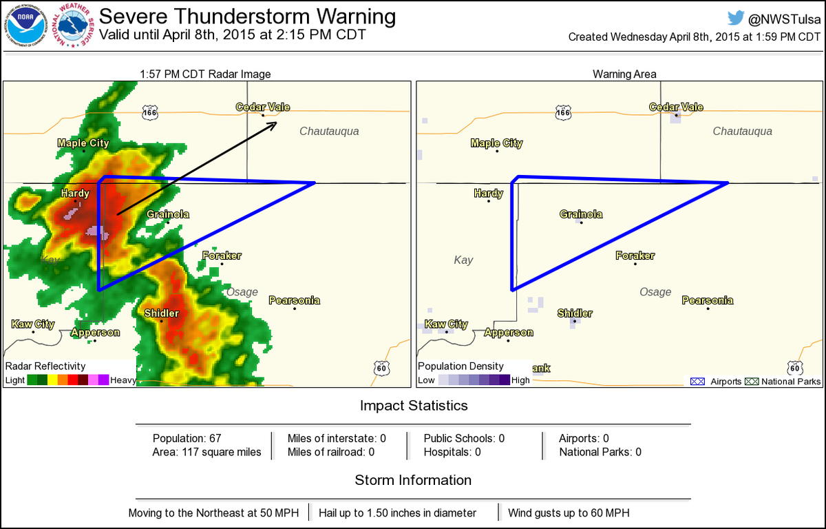
OUN issues Severe Thunderstorm Warning for Harper, Woods [OK] till 5:30 PM CDT
Participating Member
Originally Posted by venture

Venture,
Are these percentages for Oklahoma City? The entire watch area? These seem awfully high compared to some of the other forecasts for the metro.
David
Entire watch box.
Participating Member
Thanks!
David
Intense supercell. Strong inflow...must be watched!

David
Storm is TOR warned...funnel spotted.
Participating Member
Sorry for off topic, but you guys need widescreens! For Pete's sake, you could have about 20x the desktop space with a few 2550x1600 (1600p) displays!
Once again - thank you for the coverage you provide here Venture. I always follow the threads (may not understand all of the terminology) and my friends now think I am a weather guru of some sort!
There are currently 1 users browsing this thread. (0 members and 1 guests)
 Posting Permissions

 Reply With Quote


Bookmarks