


2014 Hurricane Season Discussion Thread
[hr][/hr]
Atlantic Storm Names Hurr Arthur, Bertha, Cristobal, Dolly, Edouard, Fay, Gonzalo, Hanna, Isaias, Josephine, Kyle, Laura, Marco, Nana, Omar, Paulette, Rene, Sally, Teddy, Vicky, Wilfred Eastern Pacific Storm Names Hurr Amanda, TS Boris, Hurr Cristina, TS Douglas, TS Elida, Fausto, Genevieve, Hernan, Iselle, Julio, Karina, Lowell, Marie, Norbert, Odile, Polo, Rachel, Simon, Trudy, Vance, Winnie, Xavier, Yolanda, Zeke Central Pacific Storm Names Aka, Ekeka, Hene, Iolana, Keoni, Lino, Mele, Nona, Oliwa, Pama, Upana, Wene
Current Conditions
[hr][/hr]
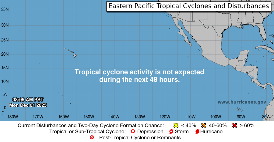
Eastern Pacific Activity Atlantic Basic Activity Atlantic & East Pac SSTs and Active Systems Potential for Tropical Formation Next 48 Hours
Weather Information
Atlantic Visible Satellite Atlantic Water Vapor
Western Gulf Coast Central Gulf Coast Eastern Gulf Coast
References
- COD Weather Analysis Page: COD Meteorology -- Analysis Data
- Spaghetti Models Forecast Page: Hurricane Spaghetti Models / Spaghetti Charts / Tropical Forecast / Hurricane Charts Models / Tropical Update
- Florida State Model Page: Experimental forecast Tropical Cyclone Genesis Potential Fields
- Penn State Model Page: e-WALL : PSU ELECTRONIC MAP WALL
- Storm Prediction Center: NOAA/NWS Storm Prediction Center
- TwisterData Model Page: TwisterData.com | Weather Data & Model Forecasts
- Earl Barker's Central US Model Page: Earl Barker's CENTRAL US Model Page
- NSSL WRF Model: NSSL Realtime WRF model Forecasts
- NSSL 4KM WRF Model Forecast Soundings: NSSL 4km WRF Forecast Soundings
- HRRR Rapid Refresh Model: HRRR Model Fields - Experimental
- ECMWF Euro Model: Mean sea level pressure, wind speed at 850 hPa and geopotential 500 hPa, temperature at 850 hPa


 Reply With Quote


Bookmarks