


Time to end the year...already. Severe weather chances remain through November but go down in December. Typically this can be a pretty rough time of year with varieties of weather, but we'll see what happens.
NEW CHAT ROOM - The new chat room is fully operational with no issues. The permanant link to get to is: Live Chat | Weather Spotlight
NWS Norman | Storm Prediction Center | Mesonet | Home Page | West Texas Mesonet | NWS Norman Fire Weather Forecasts | OK Road Conditions
Forecast Models | How To View Data in HRRR | SPC Percentages and Categorical Risk Level | How to Read Skew-T Charts
Severe Weather Values Reference Guide: The Southern Indiana Weather Spotter's Reference -or- SEVERE WEATHER INDICES PAGE
Current Conditions
Severe Weather Information
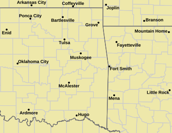
Norman Warning Area Map Tulsa County Warning Area Map Tornado Warning | Tornado Watch | Severe Thunderstorm Warning | Severe Thunderstorm Watch
Red Flag Warning | Fire Warning | Severe Weather Statement | Special Weather Statement
Hazardous Weather Outlook | Fire Weather Watch
Other Color Meanings: Web-Based Watch/Warning/Advisory Map Colors - NOAA's National Weather Service
Oklahoma Mesonet Current Conditions
Red - Air Temp, Green - Dewpoint, Barbs - Wind Speed/Direction, Gray - Gusts, Blue - Precip since Midnight
SPC Convection (Severe Weather) Outlooks
*Click any above graphic to view discussion.*
Day 1 Outlook Tornado Outlook Wind Outlook Hail Outlook
Day 2 Outlook Day 2 Probabilistic Outlook Day 3 Outlook Day 3 Probabilistic Outlook
Visible Satellite Image


 Reply With Quote
Bookmarks