
Originally Posted by
Spartan

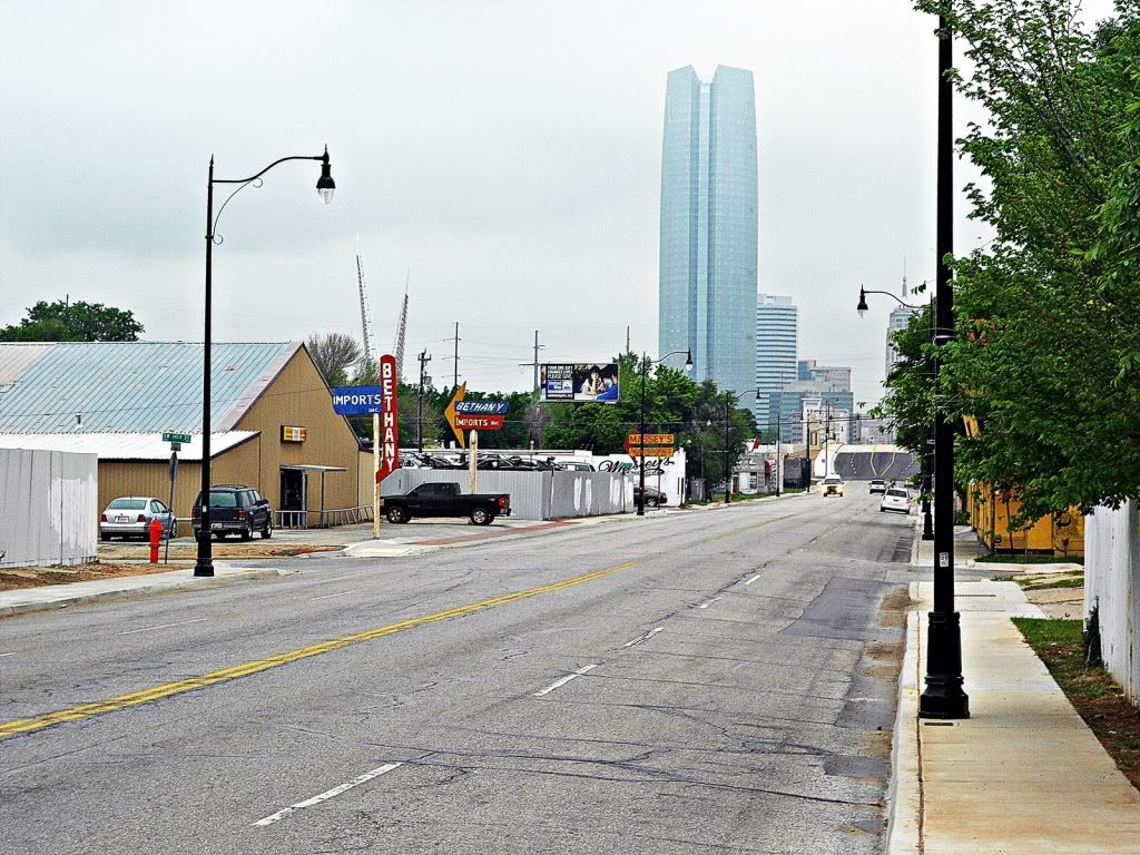
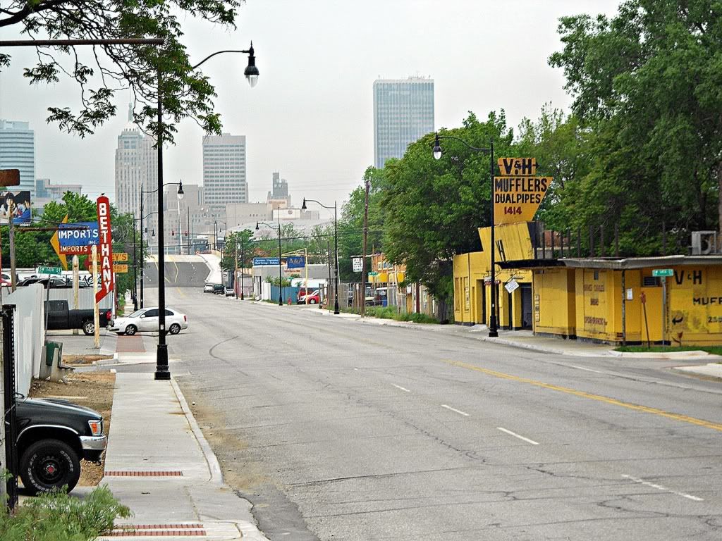
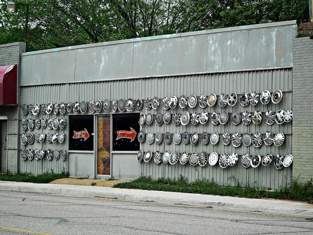
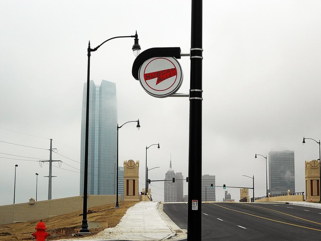
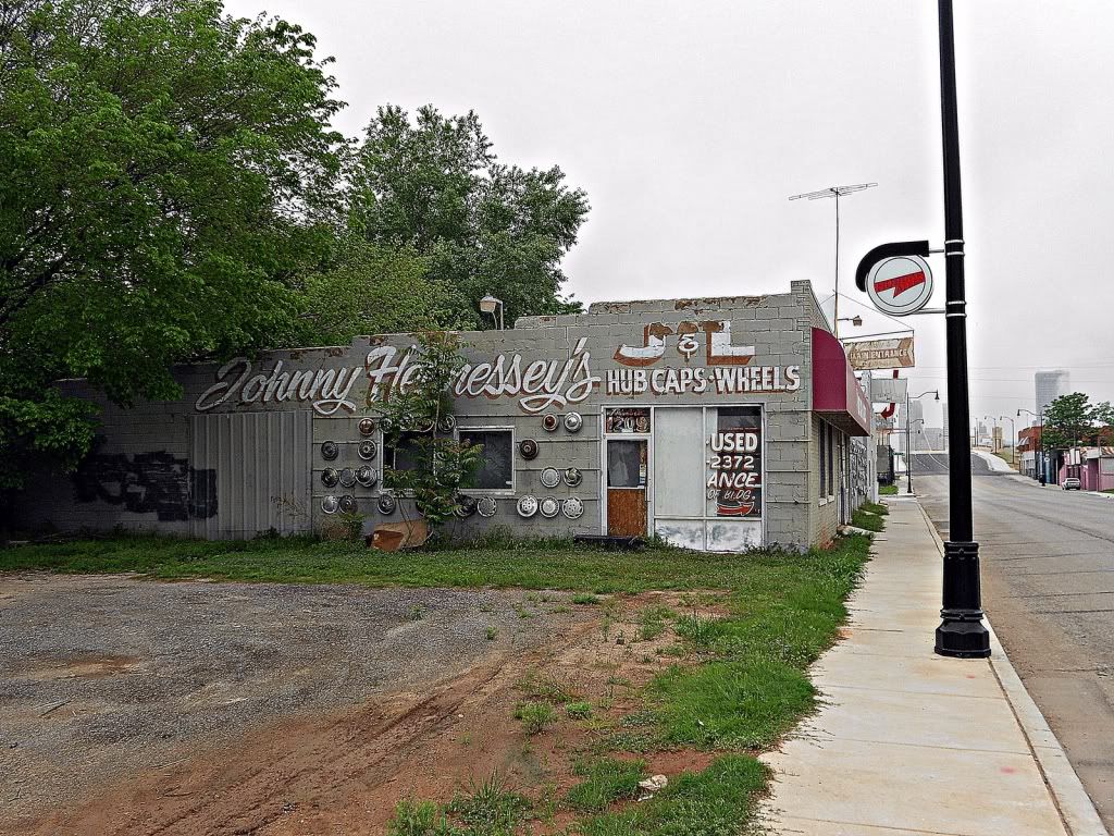
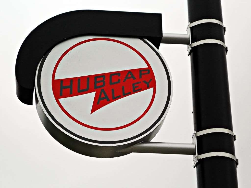
Does anyone know anything about a supposedly mostly-complete "Hubcap Alley" streetscape along South Robinson? I understand that this goes from the new I-40 down to about SW 23rd Street, getting into Capitol Hill.
I posed the question on my blog too, but I know this will get far more reads than any blog. Will, metro, if you guys are looking for photo targets...
I think in coming years we are really going to want a "before" photo, because this stretch of Robinson could potentially gentrify much more rapidly than other parts of C2S due to the I-40 access, proposed streetcar extension, and gateway to Capitol Hill. This photo can be filed with those awesome "before" photos of Bricktown and A-Alley.


 Reply With Quote


Bookmarks